Skip to content

Samuel Russell

Software, Art, Maps, Urban Exploration, Bicycles, New York City.

  • Home
  • About
  • Resume
Projects

SF-Flux Map

August 9, 2015October 8, 2024 user

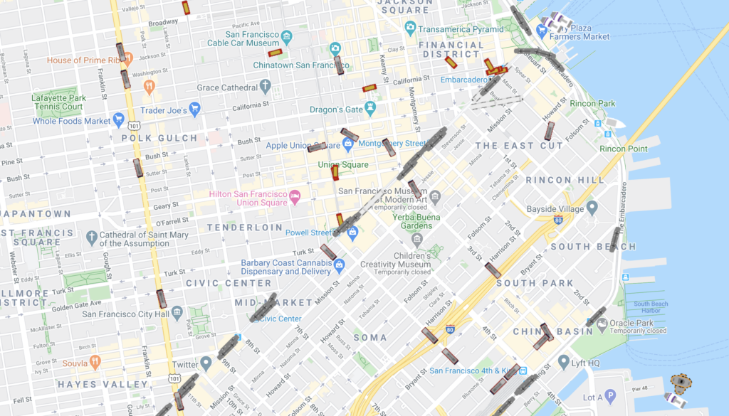
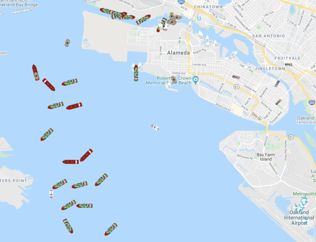
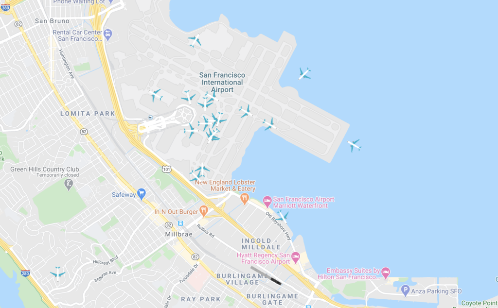
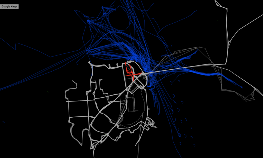
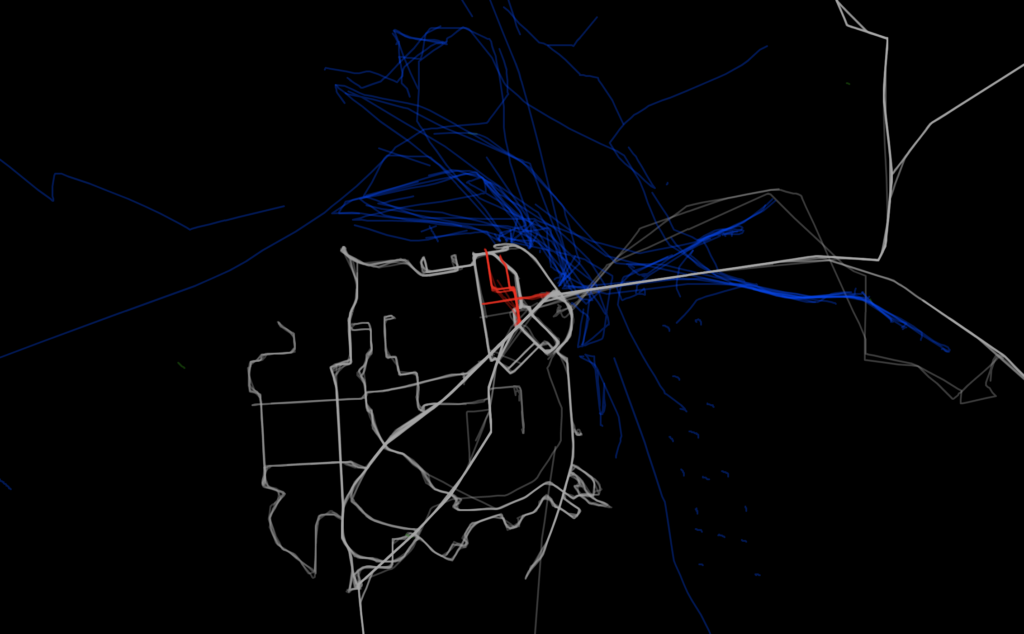
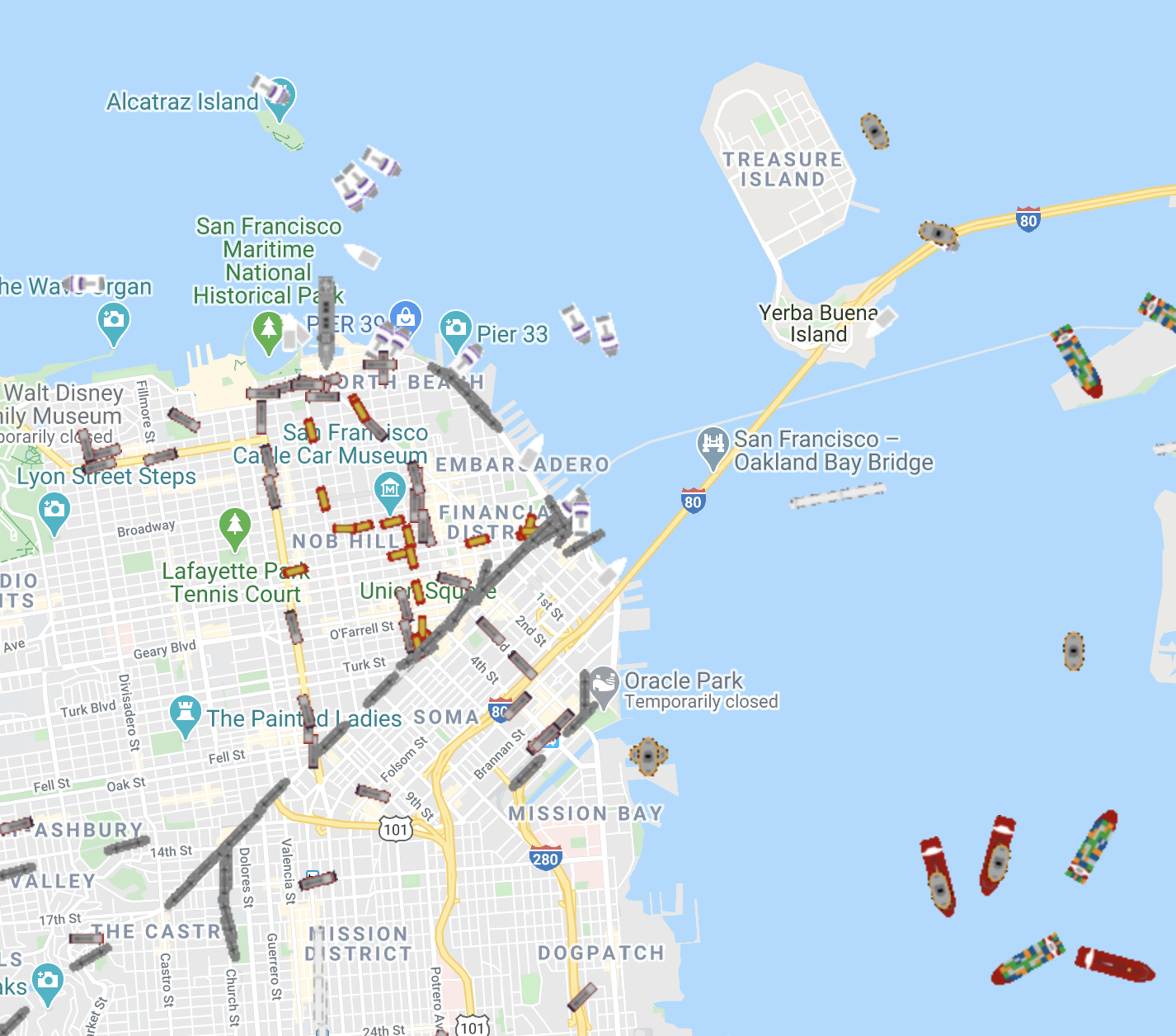
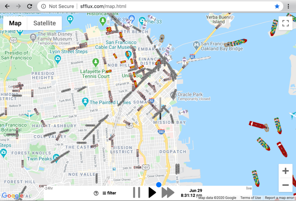
A project from 2015 that ingested public data on San Francisco Muni, BART, caltrain, Cablecar, Boat, and Plane locations, and displayed them in an interactive map for playback

See the map live (historical data)

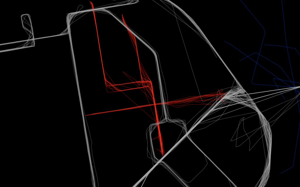
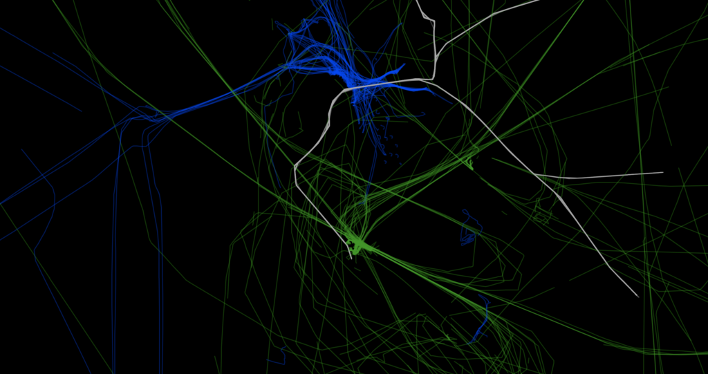
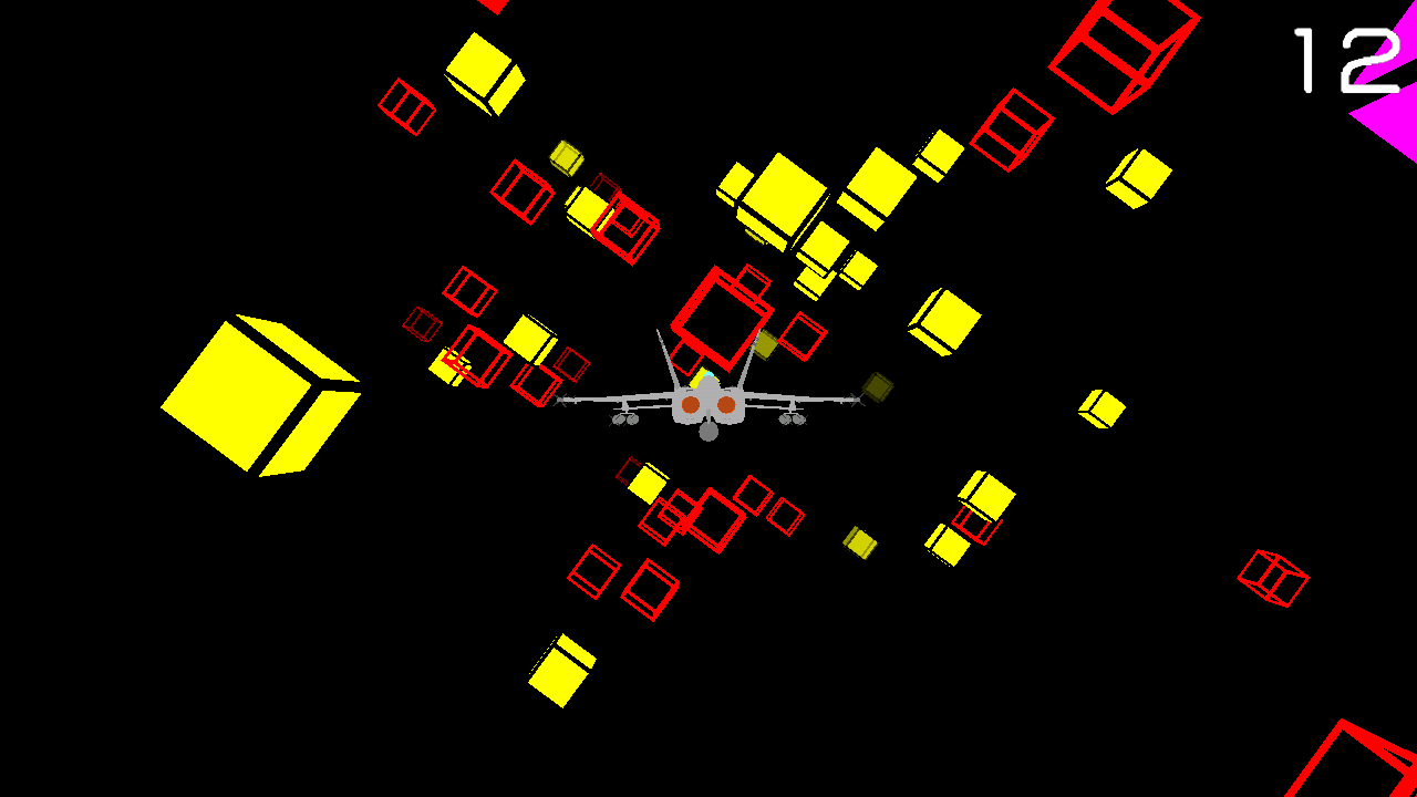
The map can also be rendered in “Artistic Mode”

Similar Posts

Lockscreen Notifications

Lockscreen Notifications

January 23, 2013August 21, 2024 user
Closet Shelves and Plywood Edging

Closet Shelves and Plywood Edging

July 25, 2024October 9, 2024 user

Post navigation

Previous Devious Flyer
Next Timelapse Panoramas
  • Instagram
  • LinkedIn
  • GitHub
  • Threads
WordPress Theme: BlogGrid by TwoPoints.
Go to mobile version