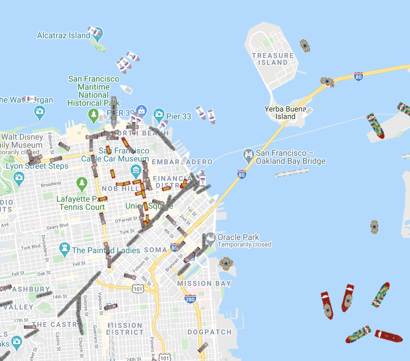
A project from 2015 that ingested public data on San Francisco Muni, BART, caltrain, Cablecar, Boat, and Plane locations, and displayed them in an interactive map for playback
See the map live (historical data)
The map can also be rendered in “Artistic Mode”

